
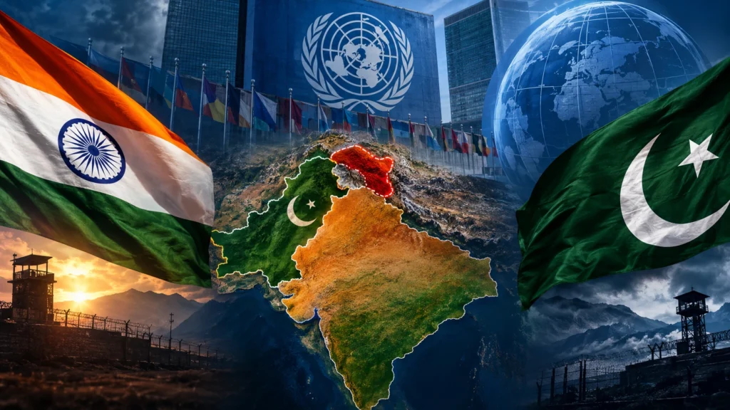

What began as a discussion about how the world should be represented on maps has quickly turned into another diplomatic exchange between India and Pakistan over Jammu and Kashmir.
India had supported a United Nations General Assembly resolution calling for more accurate, equal-area representation of the world’s continents. But New Delhi simultaneously made it clear that backing the resolution did not mean accepting any particular political map or changing India’s position on its territorial boundaries.
Pakistan has now reacted sharply to India’s clarification, calling New Delhi’s assertion regarding Jammu and Kashmir “baseless” and once again putting the Kashmir issue at the centre of its response.
A map resolution becomes a diplomatic issue
The UN resolution at the heart of the controversy is primarily about cartography rather than territorial disputes.
For decades, the Mercator projection has been one of the world’s most commonly recognised map formats. However, it significantly distorts the size of landmasses, particularly as locations move farther away from the Equator. Africa, for example, appears much smaller than its actual geographical size when compared with regions closer to the poles.
The new UN-backed initiative supports equal-area projections, including the Equal Earth model, which aims to provide a more proportionate representation of continents. The resolution was backed by 164 countries, while the United States voted against it and six countries abstained.
India supported the resolution but drew an important distinction between geographical accuracy and political boundaries.
India’s warning: Maps must reflect its official position
After the UN vote, India’s Ministry of External Affairs clarified that the country’s support was based on the principle of improving equal-area cartographic representation.
MEA spokesperson Randhir Jaiswal stressed that the resolution should not be interpreted as India’s endorsement of any particular map, projection or depiction of national boundaries.
New Delhi also made its position on Jammu and Kashmir and Ladakh explicit. India said its sovereign territory, including the two Union Territories, must be shown according to India’s official map.
The government further warned that any depiction it considers inaccurate or misleading would be unacceptable. India described its position on sovereignty and territorial integrity as firm and unchanged.
This clarification was significant because the UN resolution itself does not settle questions of political boundaries. Its stated purpose is to improve the geographical representation of the world’s landmasses.
Pakistan brings Kashmir back into the debate
Pakistan’s response came a day after India’s clarification.
Islamabad rejected New Delhi’s position and described India’s assertion regarding Jammu and Kashmir as baseless. Pakistan again presented Kashmir as a disputed issue and reiterated its established position on the region.
The response effectively shifted the focus from the technical question of map projections to the much larger and decades-old disagreement between the two neighbours.
For Pakistan, the issue remains tied to its longstanding claims over Jammu and Kashmir. India, on the other hand, maintains that Jammu and Kashmir and Ladakh are part of its sovereign territory and that there can be no compromise on its territorial integrity.
Why the UN map matters
At first glance, the dispute may appear unusual because the UN resolution is not specifically about Kashmir.
However, international maps can have political significance. The way borders, territories and disputed regions are displayed can influence how geographical and political realities are perceived.
That is why India was quick to clarify that its vote for the new mapping approach should not be interpreted as acceptance of a particular political representation.
New Delhi’s position is essentially that correcting geographical distortions should not create ambiguity about India’s official territorial claims.
Another India-Pakistan diplomatic flashpoint
The latest exchange highlights how sensitive the Kashmir issue remains between the two countries.
A UN initiative designed to address inaccuracies in the representation of continents has now triggered another round of statements from New Delhi and Islamabad.
India has separated the technical issue of cartography from questions of sovereignty. Pakistan, however, has used India’s clarification to reiterate its own position on Kashmir.
The disagreement therefore goes beyond the design of a world map. It reflects the continuing diplomatic contest over how Jammu and Kashmir is described and represented on the international stage.
For India, the message is straightforward: support for a more geographically accurate world map does not mean accepting any depiction that contradicts its official territorial position.
For Pakistan, the latest development provides another opportunity to restate its claims over Kashmir.
As the UN’s new approach to global cartography moves forward, the episode serves as a reminder that maps can carry far more than geographical information. Sometimes, the lines drawn on a map become part of a much larger political battle.